Muggaccinos.com    The Bullsheet    Sunrise in 6:28am  Or return from Warriewood by backtracking up McCarrs Creek Rd, if you don't fancy Wakehurst Parkway/Forest Way

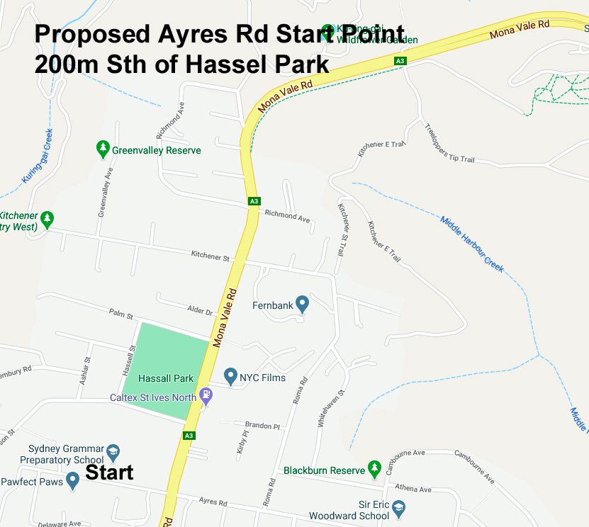
Sunday, 13 Feb 22 by 7:40am from Ayres Rd/Mona Vale Rd, Nth St Ives for "Brunch at Warriewood" - return via Wakehurst Parkway  -  62km  -  ETR 12:05pm

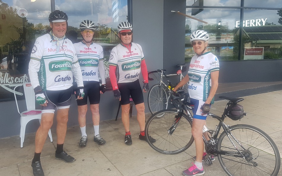
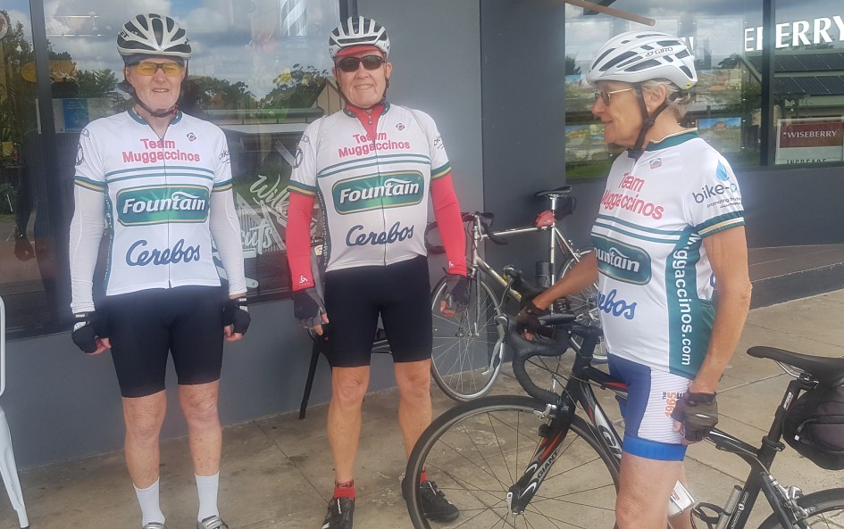
WHO, WHEN, WHERE:

Ride Organiser: Phil Johnston aka BankTeller 0434 715.861 [1st Acceptor], Eric aka PapaBear [2nd Acceptor],  Pete aka CampyAficinado [3rd Acceptor],  Ann aka ToothFairy [4th Acceptor],  are starting by 7:40am from Ayres Rd/Mona Vale Rd, Nth St Ives.

Alan aka PharLap [5th Acceptor] is meeting us at Terrey Hills Vale Fruit Barn at 7:55am.
 

Grant aka BeanCounter  Syd aka MotorMechanic, Lea aka SlowLea, Matt aka GreenMonkey, John aka L'Etape, Kev aka TexDubbo, Terry aka Navigator, , Jane aka Neo-Luddite,  Jean aka ChiliDog Ron aka Draughtsman, Tony aka Publican, Barry aka Bazza; Chris aka Recalcitrant BankTeller; Bill aka Glasgow

APOLOGIES

If you want to join us, please e-mail Bank Teller and he will add your moniker above.

Rollout from St Ives car park for Terrey Hills, Duffy’s Forest, Church Point, Warriewood (1st Nosh Stop). 
Return Wakehurst Parkway, Forest Way and Mona Vale Rd.

NoshStops:

1st:    Sunrise Cafe overlooking Warriewood Beach                         (35 min)

SagStops:

1st:    former Terrey Hills Thai Restaurant now Tempo Cafe         (5 min)

1st Leg: Nth. St Ives via Booralie Rd to/from Duffys Forest, return to former Terrey Hills Thai Restaurant - 21km - 75min


Depart
Ayres Rd/Mona Vale Rd, Nth St Ives by 7:40am depending on your ride speed:

  • E along Mona Vale Rd for 6.2km;

  • L into Myoora Rd passing Forest Way - at Terrey Hills Vale Fruit Barn;

  • 3km along Myoora Larool Rd until Tepko Rd which is 70m before Booralie Rd;

  • L into Tepko Rd (70m short of Booralie Rd) for 400m;

  • L into Booralie Rd and pedal like "shit out of Shanghai" 6.7km flat/fast stretch past Terrey Hills Golf Course and rifle range to Duffys Forest (amidst real pigs, goats, horses 'n cows);

  • "U" turn at the dead-end of Cow Corner – slower cyclists must turn around as soon as they see lead cyclists returning to via same route Terrey Hills neighbourhood shops and pull-up opposite former Terrey Hills Thai Restaurant now Tempo Cafe around 8:55am  - 1st Sag Stop (5 min);

2nd Leg: Former Terrey Hills Thai Restaurant now Tempo Cafe to Warriewood Lookout - 17km (agg. 38km) - 55 min 
9:00am -

  • L into McCarrs Creek Rd for 8.8km passing Church Point around 9:30am, then Bayview Marina to Cabbage Tree Rd,

  • R into Cabbage Tree Rd from 9:50am with Bayview Golf Course on LHS);

  • Ahead for 1.5km leads into Samuel St and crosses Mona Vale Rd at roundabout,

  • Ahead into Ponderosa Pde veering Left becoming McPherson St for 2km to Warriewood Rd

  • R into Warriewood Rd 200m crossing Pittwater Rd at traffic lights and immediately climbing up Hunter St [dog-leg L, then R] which leads to views of Blue Pacific overlooking majestic Warriewood Beach [around 9:55am] for 1st Nosh Stop (35 min) at the Sunrise Cafe.

A neighbourhood, strip-front shopping centre is immediately on RHS in Narrabeen Park Pde.  Nautilus Café is about 4 shops along.  Sunrise Cafe, on the corner makes grouse burgers.

3rd Leg: Warriewood beach cafés to St Ives, via Wakehurst Parkway - 24km (agg. 62km) - 95 min


10:30am -

  • Sth adjacent to the coast for 2km - initially along Sydney Rd which becomes Ocean St;

  • R into Malcolm St for 50m;

  • L into Lagoon St for 1km;

  • R into Waterloo St for 300m; 

  • R into Pittwater Rd for 100m crossing bridge over Narrabeen Lakes;

  • veer L into Wakehurst Parkway for a toughish 9.9km (initially flat past Narrabeen Lakes thence a constant climb) for Sag Stop (5 min) approaching crest of climb under shade of trees 100m prior to traffic lights at French Forest Rd or at the lights, so long as you get off the road; 

  • R into French Forest Rd at lights for 800m;

  • R into Rabbett St for 200m decent;

  • L into Adams St for a 200m "real tough" grind/climb;

  • R onto Forest Way for 5.3km; and

  • L into Mona Vale for 4.7km to Ayres Rd/Mona Vale Rd, Nth St Ives.

ETR 12:05pm - 62km.

Risk Warning
Blackspot Warning.  The road section approx 250m prior to the West Head Lookout veers awkwardly to the right.  It is narrow with very little camber to enable cyclists to hold the narrowing corner.
Bank Teller has documentary evidence of 5 bad accidents when inexperienced cyclists descended that road section too fast and spun off to the LHS.  One cyclist remained in a comma for three months.
Descend to the West Head Lookout slowly and warn others to do likewise. 
RTA, which is responsible for West Head Rd, has been negligent in ignoring
Scribe's  Three Letters dated 11 Jan 08, 8 Feb 08 and 29 March ’08 and Annexure to -
a)      straighten approx 200m of that road section by widening on the RHS,
b)      build up the camber on the LHS, and
c)      provide dedicated "Cyclists SLOW DOWN" signage.


Some forms of cycling are dangerous. 
An ave of 38 Australian cyclists have been killed annually since 2000.  95% of these fatalities occur on the road.  Other cyclists in Australia break bones and incur nerve impairment from falling off their bikes in accidents. 
A cyclist could fall from his/her bike, inter alia, due to -
(i)      being hit by a car or another cyclist; or
(ii)     encountering a pothole;
(iii)    cycling too fast on a wet downhill where the coefficient of friction is much less, particularly at corners; or
(iv)    getting their bicycle wheel caught in a gap in a timber bridge.

A negligent cyclist could -

(a)    be litigated by a seriously injured cyclist, or third party (ie. a woman pushing a pram on a footpath or a car driver) under common law where the damages could exceed $500,000; and

(b)    lose his/her home if he/she did not have public liability insurance which covers their negligence whilst on a push bike.

A negligent cyclist who did not have personal injury insurance (ie self-employed without income protection cover) could struggle to meet regular outgo commitments.

A seriously injured cyclist could be awarded damages which a negligent cyclist could not afford to pay if the negligent cyclist -
(I)     did not have public liability insurance cover; and/or
(II)    did not possess valuable assets.

Ø     Cycling without Public Liability cover is as silly as driving without 3rd Party -
 join Bicycle NSW for PL insurance, so that all Muggs are better protected

Ø     Click on: Risk Management which warns of 'inter alia', the dangers of cycling on public roads with motor cars, potholes and over bridges with vertical timber planks with gaps

Ø     Cycling with Muggs is predicated upon notifying Bank Teller if you materially disagree with any clause(s) in Muggaccinos' "Ride Participants Liability Acknowledgment"


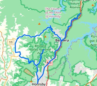
Hornsby, Galston Gorge, lumpy route to Berowra Waters for 1st Nosh Stop, thence up and north to PitS. Thence "home James and don't spare the horses" - 64km - 4 riders


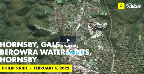
To view our above ride route from Hornsby in Google Earth:

Click on the 'Relive' image above.  Then click on the 'Right Arrow' therein. 

Then click on:  View interactive route >


Hornsby via Pitt Town Rd to Windsor, returning via Cattai Ridge and Berowra Waters  -  104km  -  5 riders

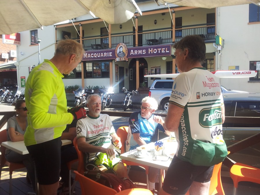
At The Bridge Cafe Windsor amidst brill sunshine après 51km via Pitt Town Rd

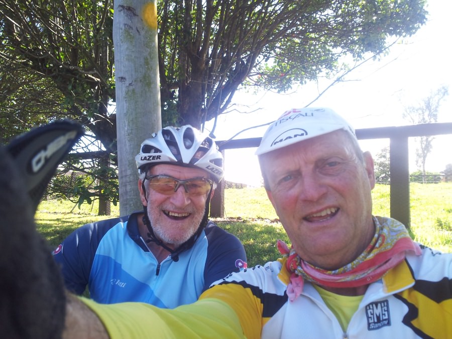
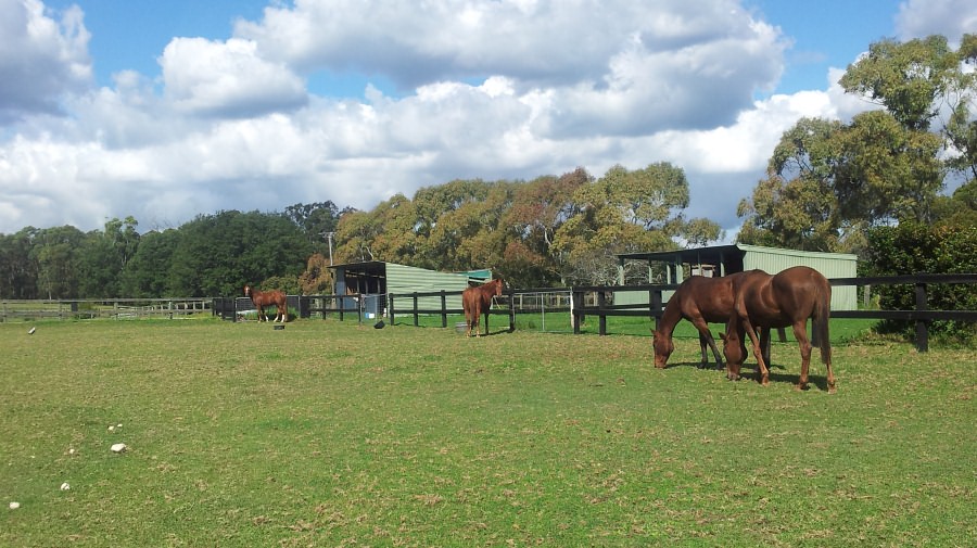
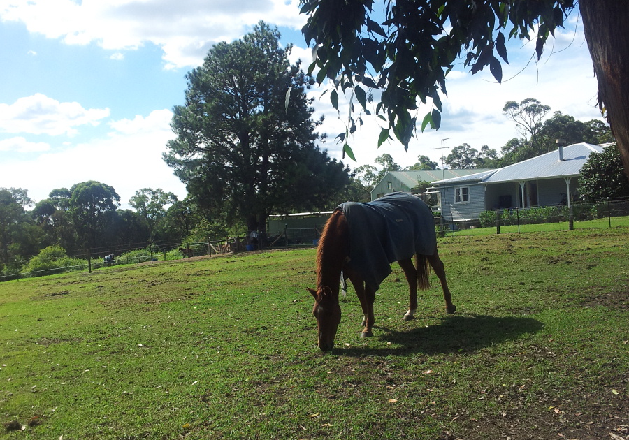
A Usie snapped at the 'verdant grassy knoll' at the apex of the Cattai Ridge climb which used to be a familiar Muggs' Sag Stop after scaling from Cattai Creek

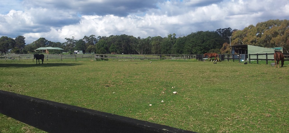
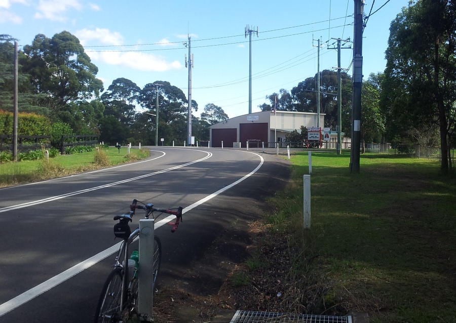
Above four pics in between Arcadia and Berrilee near the Fire Station (in the background)

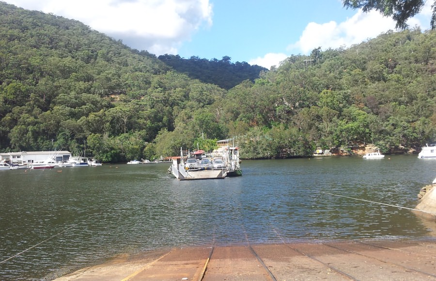
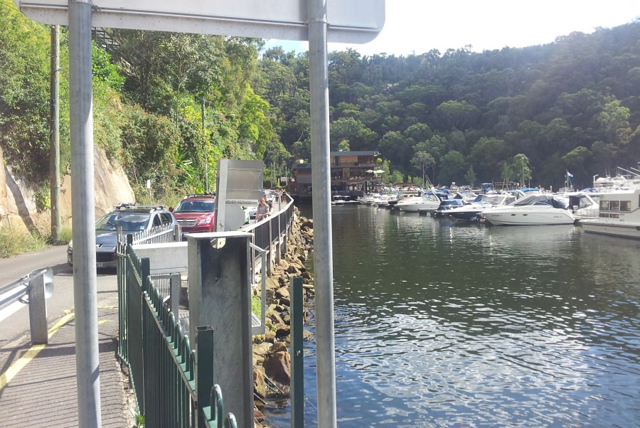
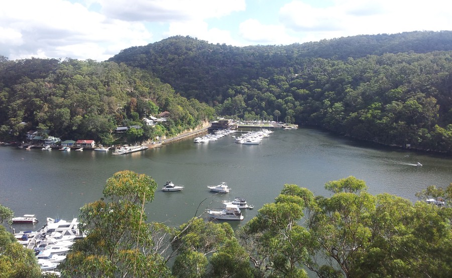
Waiting for the 'Punt' at Berowra Waters

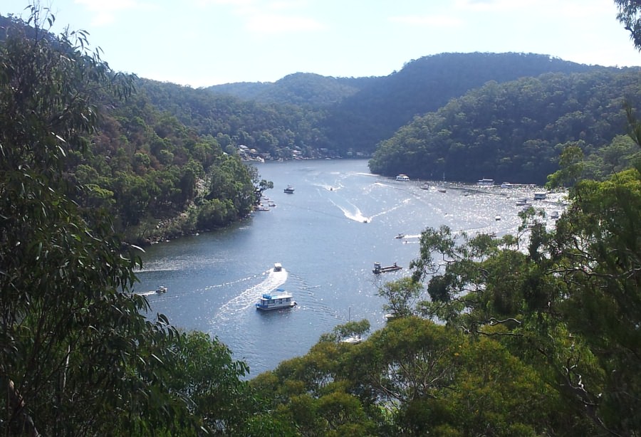
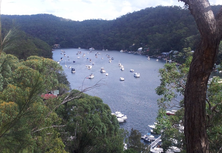
Above three pics snapped almost half way up the ascent to Berowra

Scribe    19 April '15