|
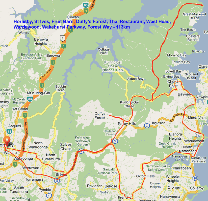
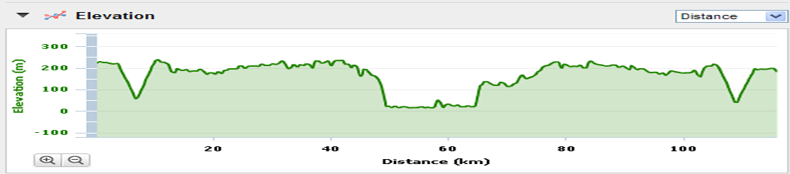
Muggaccinos.com The Bullsheet REPLACED BY WINDSOR RIDE DUE TO COASTAL RAIN FORECAST Sunday, 6 June '10 - "Brunch at Warriewood" - return via Wakehurst Parkway * 7:40am from Hornsby Jersey St carpark - 113km - ETR Hornsby 2pm * 8:15am rollout from St Ives carpark - 94km - ETR St Ives 1:10pm |
|||||||||||||||||||||||||||||||||||||||||||||
|
WHO, WHEN, WHERE Ø Ride Organiser: Phil Johnston aka BankTeller 0434 715.861, Pete aka CampyAficionado and John aka BakerBoy are starting at 7:40am from Hornsby Jersey St carpark. Ø Jane aka Neo-Luddite, Jean aka ChiliDog and KayakMan are starting from St Ives carpark. Ø PacificPete will join us 'en route' to Duffy's Forest. If ya want to join us, e-mail BankTeller and ya will get added to this esteemed group. |
|||||||||||||||||||||||||||||||||||||||||||||
|
SNAPSHOT SagStop: 1. Terrey Hills Thai Restaurant (10 min)
2.
West Head
Lookout (15 min) 1st: Sunrise Cafe overlooking Warriewood Beach (30 min) 2nd: Pattisons Patisserie St Ives (20 min) |
|||||||||||||||||||||||||||||||||||||||||||||
|
1st Leg: Hornsby Jersey St carpark to St Ives carpark - 9km - 25 min 7:40am cycle:Early on Sunday morn' the following route has low road traffic which follows the street signs to St Ives:* Left down Pacific H'way for 800m * Left into Edgeworth David Ave to F3 Overpass for 2km * Ahead into Junction Rd for 1.3km * Right into Eastern Rd for 700m * Left into Burns Rd for 2.2km, * Ahead into Killeaton St for 2.3km, * Right into Memorial Ave for 500m, * Left into Mona Vale Rd for 100m.
2nd
Leg:
St Ives carpark to
West Head, via Duffys Forest - 41km - 105 min - agg 50km
Pack lots of nibbles, ‘cause we take our Sag Stop (15 min) from 9:45am for a snack and a gawk at the majestic, shimmering blue peninsula and The Greenies blocked the proposed McChucks on the headland.
3rd
Leg: West
Head to Warriewood - 28km - 70 min - agg 78km
A neighbourhood, strip-front shopping centre is immediately on RHS in Narrabeen Park Pde. Nautilus Café is about 4 shops along. Sunrise Cafe, on the corner makes grouse burgers. 4th Leg: Warriewood beach cafés to St Ives, via Wakehurst Parkway - 26km - 85 min - agg 104km
11:45am -
|
|||||||||||||||||||||||||||||||||||||||||||||
|
Risk
Warning 1st Cycling Blackspot Warning. The road section approx 300m prior to the West Head Lookout veers awkwardly to the right. It is narrow with very little camber to facilitate cyclists holding the narrowing roadway. Bank Teller has documentary evidence of 6 bad accidents when inexperienced cyclists descended that road section too fast and spin off to the LHS. One cyclist remained in a comma for 3 months. Another cyclist who was heli-lifted out on Sunday 9 Nov remains in the Spinal Unit at RNSH - Bank Teller visited him on Sat 2 Jan '10. Descend to the West Head Lookout slowly and warn others to do likewise. RTA, which is responsible for West Head Rd, has been flagrantly negligent in ignoring my three letters dated 11 Jan 08, 8 Feb 08 and 29 March ’08 and Annexure to - a) straighten approx 200m of that road section by widening on the RHS, b) build up the camber on the LHS, and c) provide dedicated "Cyclists Descend Slowly" signage at the top of the descent.
2nd
Cycling Blackspot Warning
Some
forms of cycling are dangerous.
An ave of 36 Australian
cyclists have been killed annually since 2000.
95% of these fatalities occur on the road.
Other cyclists in Australia break bones and incur nerve
impairment from falling off their bikes in accidents. A negligent cyclist could - (a) be litigated by a seriously injured cyclist, or 3rd party (ie. a woman pushing a pram on a footpath or a car driver) under common law where the damages could exceed $500,000; and (b) lose his/her home if he/she did not have public liability insurance which covers their negligence whilst on a push bike. A negligent cyclist who did not have personal injury insurance (ie self-employed without income protection cover) could struggle to meet regular outgo commitments.
A seriously injured cyclist could be awarded damages
which a negligent cyclist could not afford to pay if the negligent
cyclist -
Ø
Cycling
without Public Liability cover is as silly as driving without 3rd Party -
Ø Click on: Risk Management which warns of 'inter alia', the dangers of cycling on public roads with motor cars, potholes and over bridges with vertical timber planks with gaps Ø Cycling with Muggs is predicated upon notifying Bank Teller if you materially disagree with any clause(s) in Muggaccinos' "Ride Participants Liability Acknowledgment" |
|||||||||||||||||||||||||||||||||||||||||||||
|
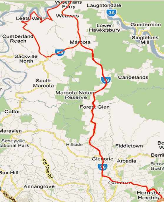
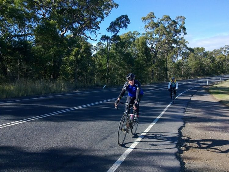
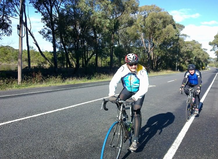
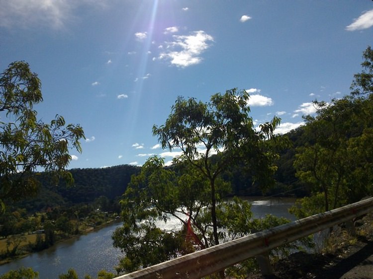
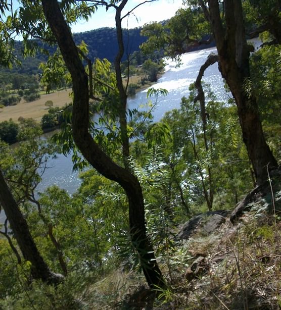
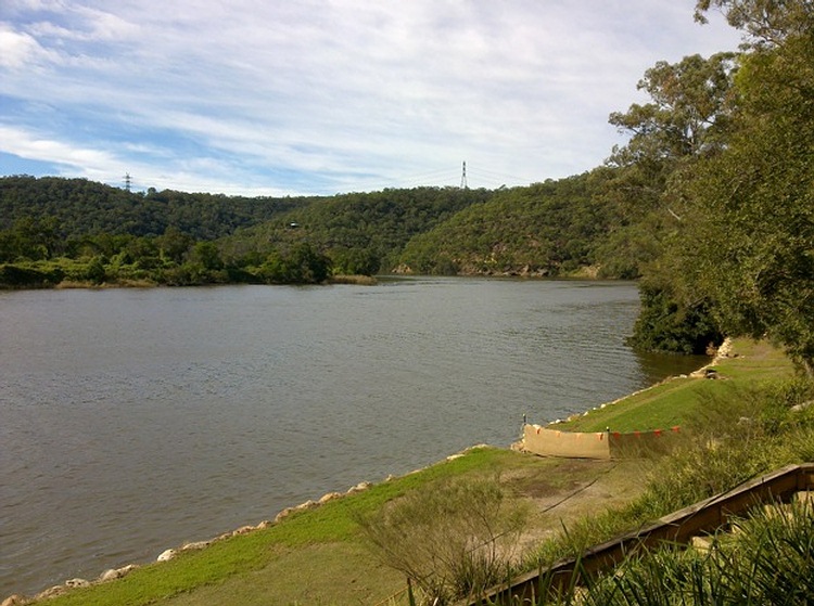
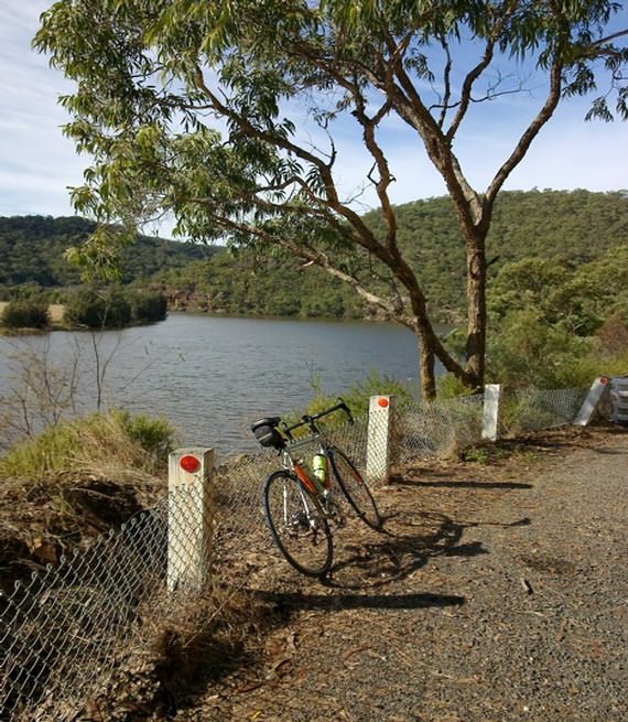
Scribe's rap-up of Tour de Wisemans Ferry, Cliftonville & Maroota - 117km - 6 starters
We met PacificPete at Glenorie Shopping Centre 3km north of Cattai Ridge Rd. Alas, Harry aka KayakMan started a tad early. Pete noticed him at Glenorie. Harry waited at the T section of Old Northern Rd and Wisemans Ferry Rd for us but opted to head for the Stone House Cafe Maroota seemingly just before we passed thru that intersection 12.5km south of Wisemans Ferry
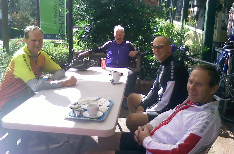
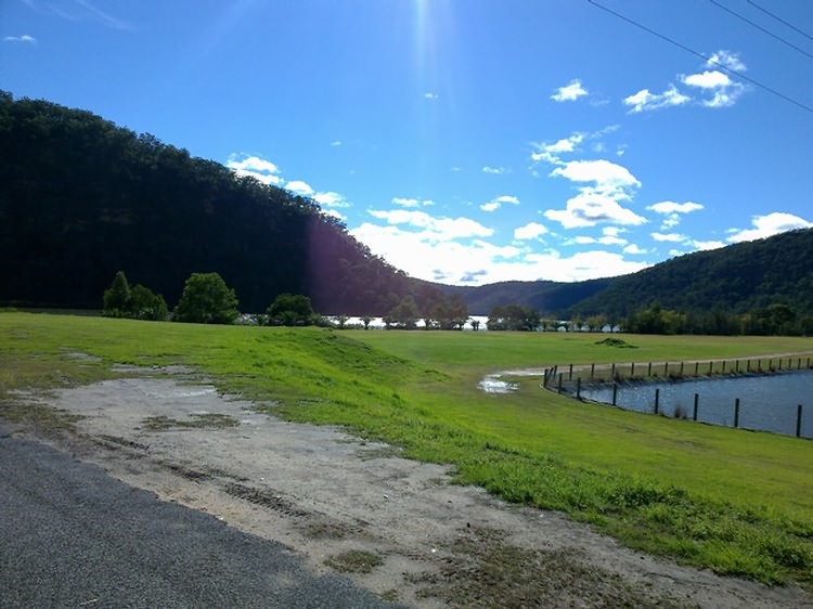
Pigging-out in bright sunshine at Wisemans Ferry after 49.5km from Hornsby |
|||||||||||||||||||||||||||||||||||||||||||||
|
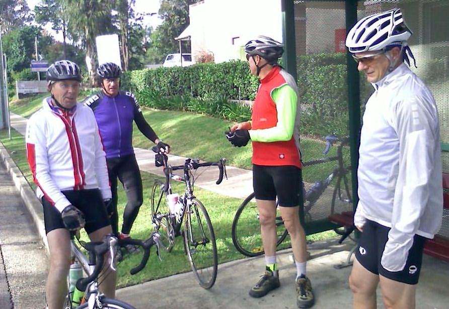
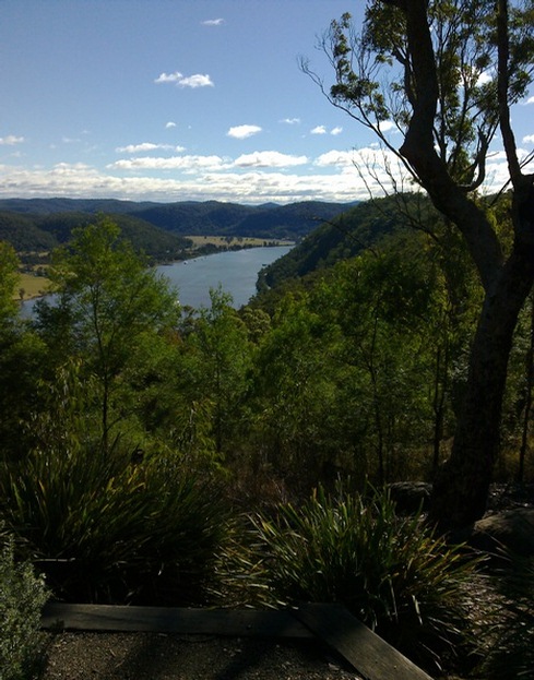
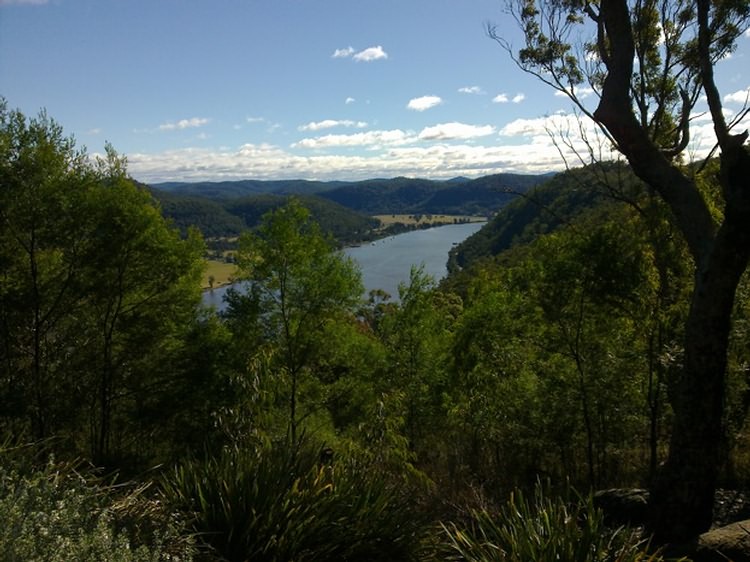
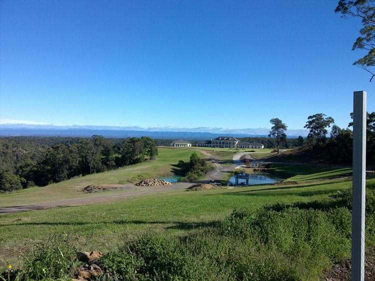
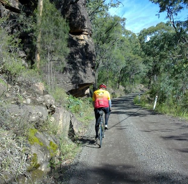
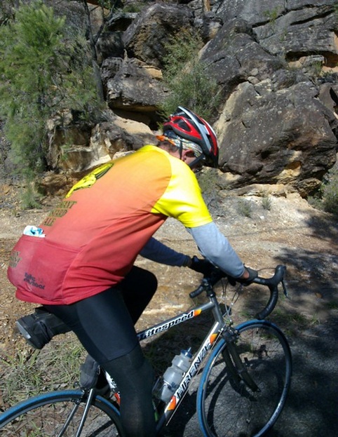
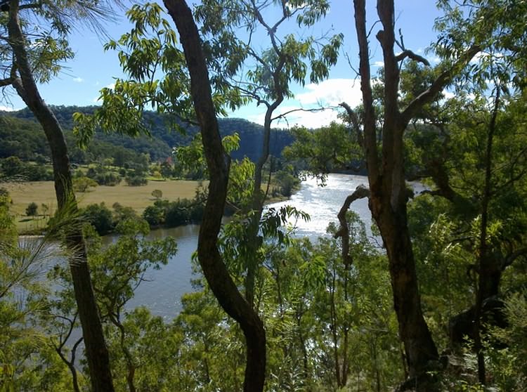
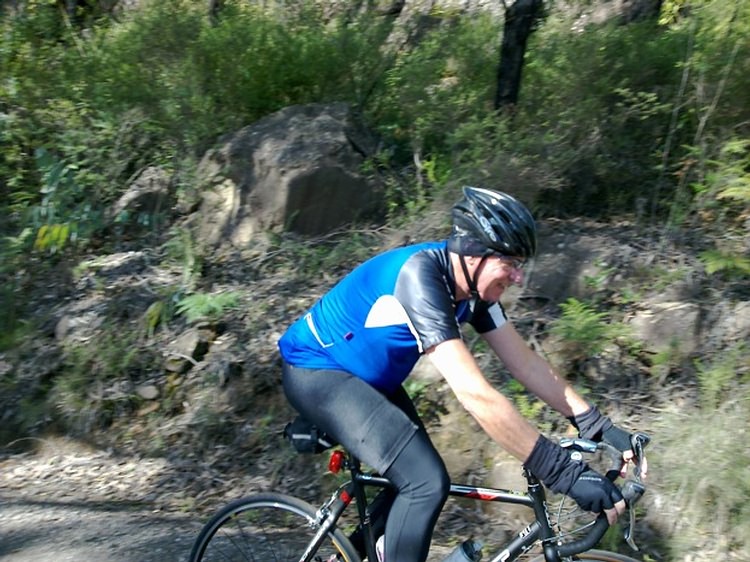
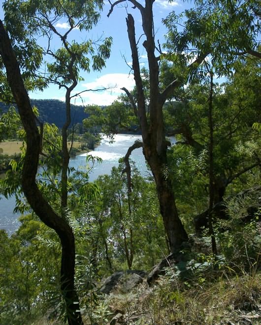
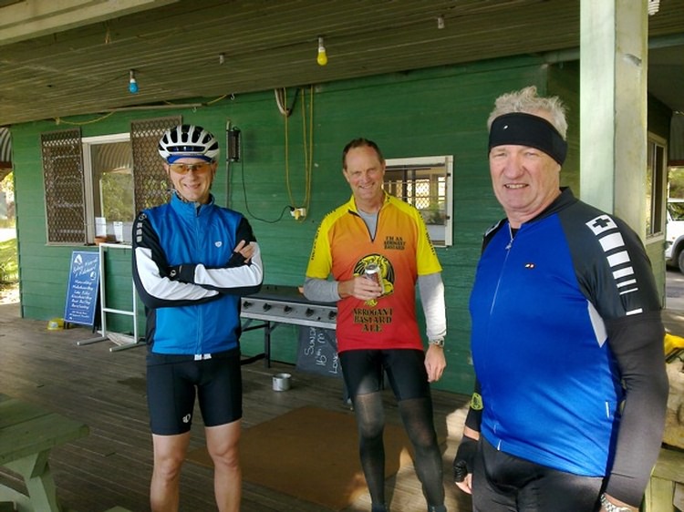
Below are Pete's Pics
A fleeting SagStop at Cliftonville Lodge before tackling in the humongous 950m climb up Cliftonville Hill which includes a short but nasty 20o section where PacificPete veritably blew the competition away. David aka CricketTragic won the 1st KOM up Galston Gorge, and Pete aka CampyAficionado took out the final KOM up Galston Gorge to the familiar Hornsby Heights Bus Shelter. |
Scribe 30 May '10